Surveys · A local authority Building-change survey from two aerial photos
Every building coded on an older and a recent aerial photo; new, demolished and enlarged buildings flagged in a prioritised findings report for building inspection.
The challenge
Building additions are hard to spot on patrol: they sit in back yards, on rooftops and behind facades. An inspection department needs a list of places worth checking, not another general patrol.
The solution
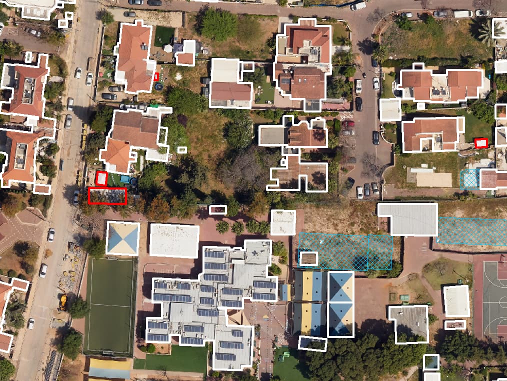
We coded every building on two aerial photos from different years and compared them. New buildings, demolished buildings and footprints that grew beyond a threshold agreed with the authority were marked in a change layer. Oblique imagery was used to check added floors, balconies and extensions that cannot be seen from above. Each suspected case got a screenshot, and the findings were compiled in a report by priority.
The result
The inspection department goes out with a sorted list and an image for every finding, and can cross-check it against permit records to focus on additions that were never approved.
What was delivered
-
Change layer: new, demolished and enlarged buildings
-
A screenshot for every suspected case
-
Findings report by priority
-
Optional cross-check with building permits
From the project
-
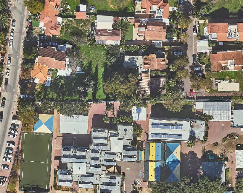
Earlier aerial photo of a low-rise neighbourhood -
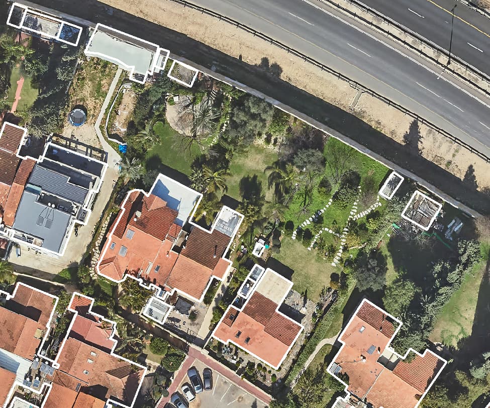
Earlier aerial photo of low-rise plots -
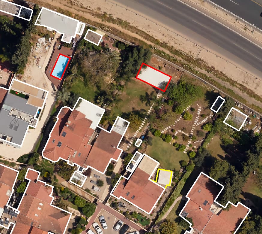
Later photo: building additions marked -
Earlier aerial photo of a low-rise neighbourhood -
Later photo: new building footprints marked in red