


HAMMER CITY · Municipal GIS One map site for every department
Live
HAMMER CITY brings a municipality's GIS layers into a single map, in Hebrew and in the authority's own branding, on the ArcGIS Online it already runs. Engineers, planners and operations staff find an address, a parcel or a plan lot, see what sits at any point, and print a map with the city's emblem.
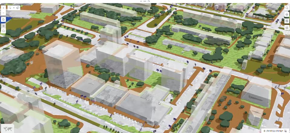
The problem
The layers exist. Finding them is the hard part.
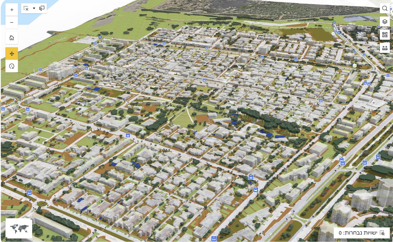
Most municipalities already keep their data in ArcGIS Online, but it is scattered across many web maps and apps. Each department opens a different link, every map looks different, and someone who just needs to check a lot boundary or print a site plan ends up fighting an English-only interface built for GIS specialists.
So the simple questions keep landing on the GIS manager's desk.
What it does
Every tool in one dock
One dock at the bottom of the screen: search, layers, legend, identify, selection, coordinates, CAD import, print, basemaps, advanced tools and a built-in guide.

-
Cascading search
Address (street, then house number), plan then lot, lot, block and parcel, schools and bus stops. The result zooms in, highlights, and switches its layer on.
-
Identify
Click a point to see the features there, plus overlapping features from other layers. Copy ITM or WGS84 coordinates, or open the spot in Google Maps, Street View, GovMap or Waze.
-
Layers and legend
A layer tree with transparency, zoom-to, labels and layer search. Basemaps listed by spatial reference, including your organization's basemap gallery.
-
CAD-style measuring
Dimensions, length and area with snapping, printed with the map. Built for orientation, not as a substitute for a licensed survey.
-
Print
A4 or A3, portrait or landscape, with the authority's title and emblem, to PDF.
-
DWG and DXF on the map
Open a CAD file on the map with one layer per CAD layer, and export it to SHP. The file is read in the browser only and never stored on a server.
-
Coordinates
Paste ITM, WGS84 (decimal or DMS), UTM or MGRS and the format is detected automatically. Pick points, import and export CSV.
-
Share
Link, QR code or e-mail. Recipients need an authorized user account.
-
Accessibility
Skip links, a keyboard-operable dock (Alt+B) and an accessibility panel (Alt+A): text size, high contrast, link and focus highlighting, stop animations and a readable font. The accessibility statement declares partial conformance with Israeli Standard 5568.
-
A lean start-up map
Layers start switched off and load on demand, so the map is ready quickly even in a municipality with a long layer list.
How it works
From your ArcGIS Online to your own map site
-
Connect to your organization
HAMMER CITY runs against the authority's ArcGIS Online organization and web map. Pop-ups are configured in Map Viewer, the way your team already works.
-
Fit it to the authority
One shared template plus a small per-authority overlay: name, emblem, searches and layers. Every template improvement reaches every customer.
-
Sign in with existing accounts
Staff sign in with the authority's ArcGIS accounts. No extra user directory to maintain.
-
Ship in versions
Each authority gets its own hosting on Google Cloud, with numbered releases and the option to roll back.
-
Learn and use
A Hebrew user guide inside the app, plus staff training when you need it.
Who it's for
Anyone in the municipality who works with place
-
Engineering and planning
Plan and lot search, snapping measurements, a contractor's drawing on the map, and A3 prints with the city emblem.
-
Operations and resident services
Find an address, check what is at a point, and open it in Street View or Waze for the crew heading out.
-
GIS managers
Layers and permissions stay in ArcGIS Online. Routine questions get answered on the map, leaving time for real GIS work.
-
Authorities on ArcGIS Online
Built for a municipality or regional council whose layers already live in ArcGIS Online.
Use cases
An ordinary working day, with a better map
-
Checking a lot before a meeting
Search by plan and lot, click for information from every overlapping layer, and print an A3 sheet with the authority's title and emblem.
-
A contractor's drawing against the ground
Open the DWG on the map, compare it with the basemap and measure. The file never leaves the browser.
-
A request that comes with coordinates
Paste a coordinate in any common format; the format is detected, the map zooms to the point and shows what is there.
-
Coordinating a field crew
Send a link or QR code to an authorized colleague, who opens the location in Waze.
Integrations
Built on ArcGIS, working with the tools you already have
HAMMER CITY is built on Esri's ArcGIS platform, with components developed by HAMMER.
- ArcGIS Online The authority's organization, web map and permissions
- ArcGIS Experience Builder The app foundation, extended with HAMMER components
- ArcGIS Maps SDK for JavaScript The in-browser map engine
- DWG / DXF Open on the map and export to SHP
- CSV Point import and export
- GovMap, Google Maps, Street View, Waze Open any location from the identify panel
- Google Cloud Separate, versioned hosting per authority
Status
Live in production
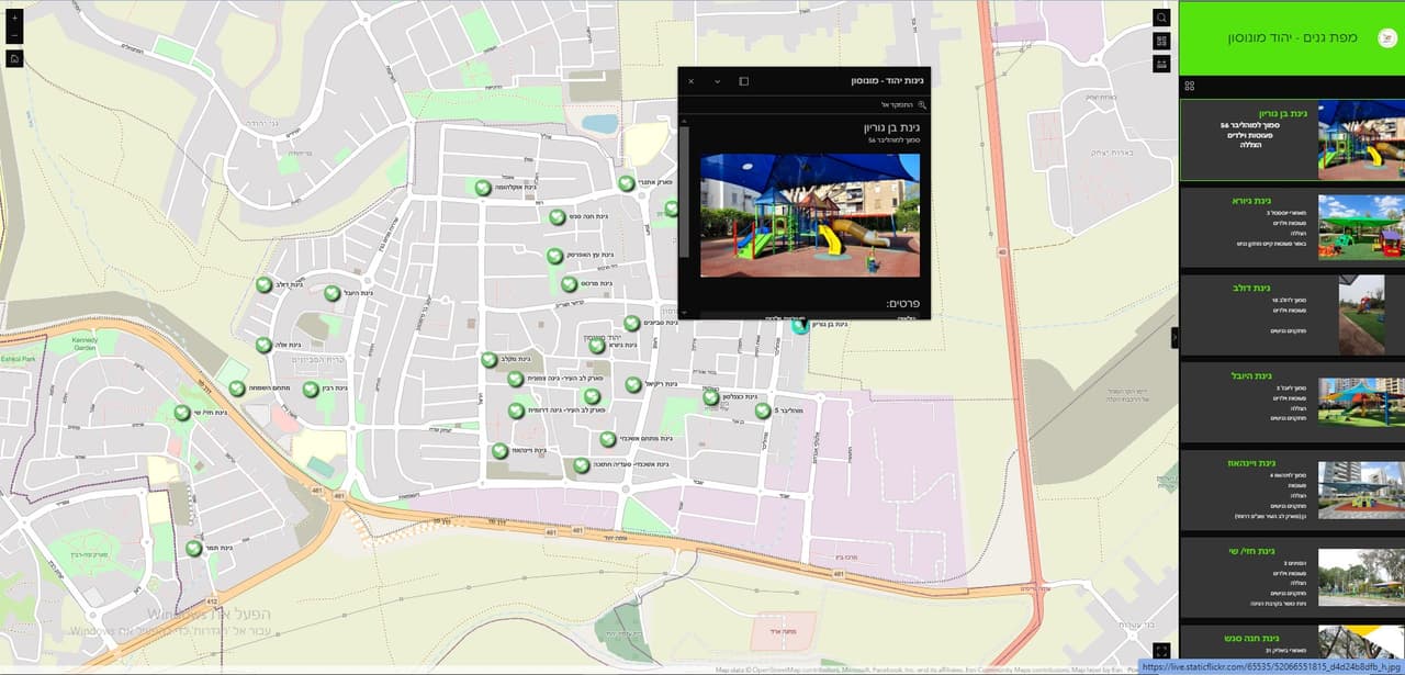
HAMMER CITY is running in production at an Israeli municipality, and roll-outs for further authorities are being prepared. The product ships in regular releases, and each authority moves to a new version only after it has been checked.
FAQ
What people ask us
What is HAMMER CITY?
HAMMER CITY is a map site for municipal staff: all of the authority's GIS layers in one map, in Hebrew and in the authority's branding, with search by address, plan and lot or block and parcel, identify, measuring, printing and CAD overlay. It is built on the authority's own ArcGIS Online.
Does HAMMER CITY replace ArcGIS?
No. It is built on, and works with, the authority's ArcGIS Online. Layers, web maps and permissions stay in your organization, and pop-ups are still configured in Map Viewer.
What do we need to use HAMMER CITY?
An ArcGIS Online organization with the authority's layers. Staff sign in with their existing ArcGIS accounts; there is no separate user directory.
Are the DWG files I open stored on your servers?
No. The file is read in your browser only and is never stored on a server. You can export the result to SHP.
Can we rely on the measurements for permits?
No. The measuring tool is for orientation, not a certified survey, and the map data is not statutorily binding. Official decisions need a licensed surveyor and the statutory documents.
Is HAMMER CITY accessible?
It has skip links, keyboard navigation, an accessibility panel and reduced-motion support. An automated check came back clean, and the accessibility statement declares partial conformance with Israeli Standard 5568 at level AA. A screen-reader review is planned.
Can we share a map with someone outside the municipality?
Sharing works by link, QR code or e-mail, but the recipient needs an authorized account. HAMMER CITY is an internal work tool, not a public portal.
Want to see HAMMER CITY in action?
We'll walk through search, identify, printing and CAD overlay, and look at what it takes to connect your ArcGIS Online.