Additional services · Councils and a regional cluster Aerial wall maps for council offices
Wall-sized aerial photo maps with boundaries and base layers for meeting rooms, offices and waiting areas.
The challenge
In a council meeting room, people talk about places all the time: a new neighbourhood, a road, an open area. A large, accurate map on the wall lets them point at the place instead of describing it.
The solution
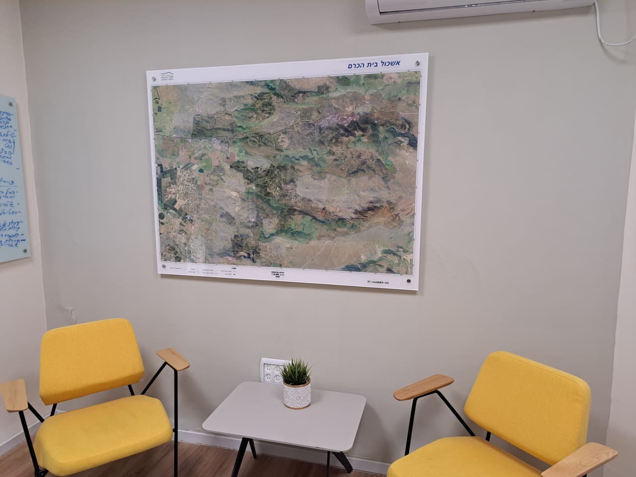
We produced wall-sized aerial photo maps with boundaries and base layers, sized to the wall and the room. The finish was chosen for each space: printed on foam board in an aluminium frame, or on glass and perspex.
The result
The maps now hang in meeting rooms, offices and waiting areas. Discussions happen in front of a map of the area, and visitors see the communities and neighbourhoods at a glance.
What was delivered
-
Printed aerial wall maps
-
Boundaries and base layers on the map
-
Foam board and aluminium, or glass and perspex finish
From the project
-
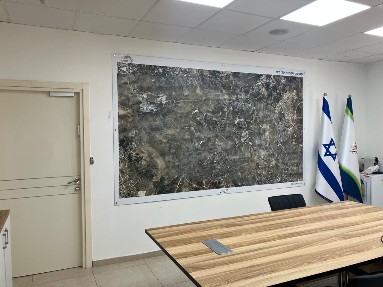
Large aerial wall map in a meeting room -
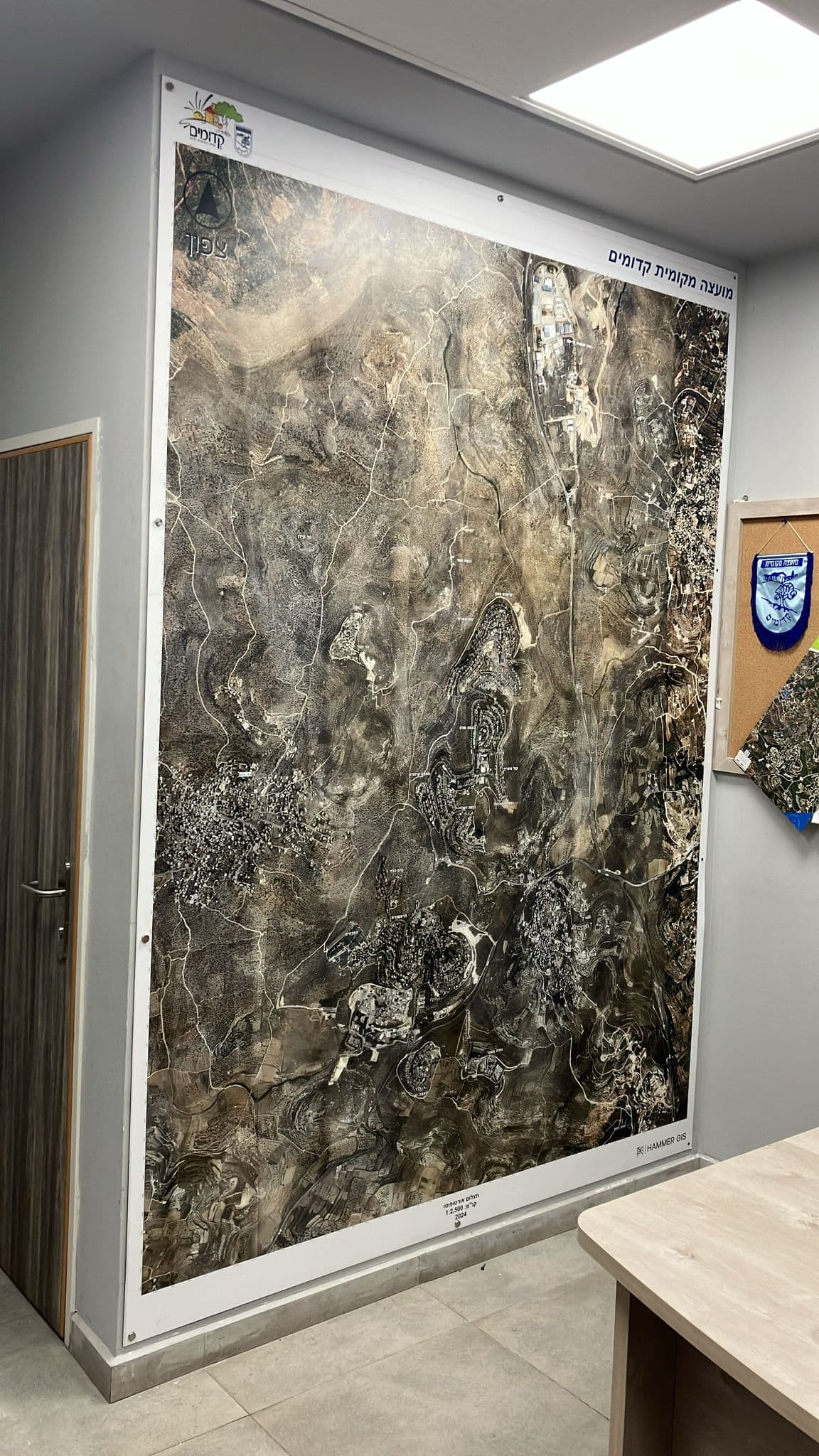
Floor-to-ceiling aerial map