Software · A regional council SIGNYX: a traffic committee that works on the map
A system for a regional council's traffic committee: incoming requests, map-based sign planning, committee meetings, decisions and PDF documents, on the council's ArcGIS Online.
The challenge
A traffic committee runs a long chain: a request, planning of signs, poles and markings, a meeting, a decision and the minutes. When each step lives in a different tool, it is hard to tell where a request stands and what has already been approved.
The solution
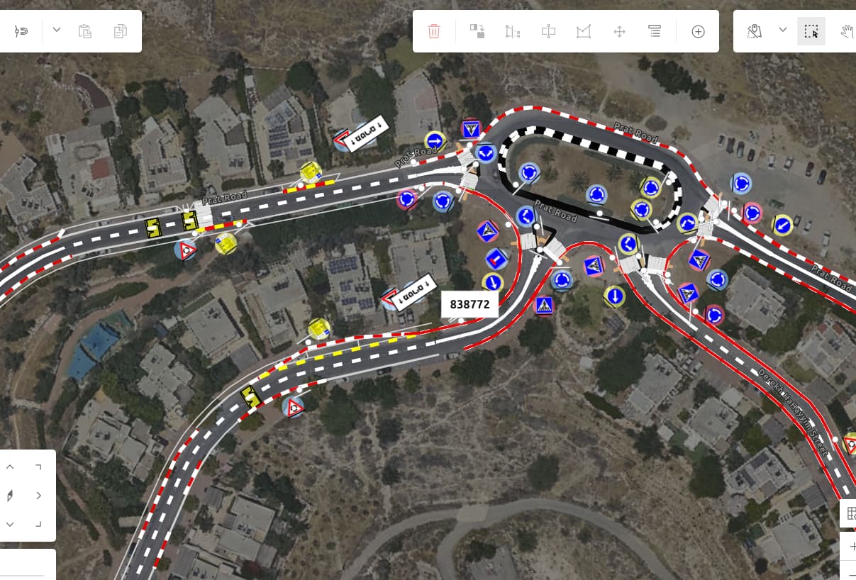
We built SIGNYX on the council's ArcGIS Online, with screens that follow the workflow: an incoming-requests page fed by the council's request system, a planning portal for marking signs, poles, road markings and disabled parking on the map, a committee-meeting portal for the agenda and decisions, and a management portal. Agendas and minutes are produced as PDF documents, and disabled-parking permits are tracked. A new web-app generation of SIGNYX is in development.
The result
The committee coordinator, planners and members work from the same map and the same layers: each request sits at its location, gets planned there, goes to the meeting and produces its documents.
What was delivered
-
Incoming-requests page
-
Map-based planning portal
-
Committee-meeting portal
-
Management portal
-
Agenda and minutes as PDF documents
From the project
-
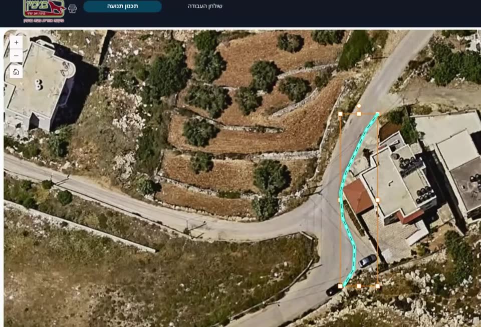
SIGNYX: planning signage at a roundabout on the aerial photo -
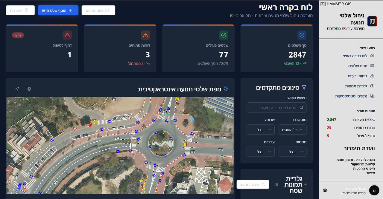
Dark traffic-sign control board with orthophoto map -
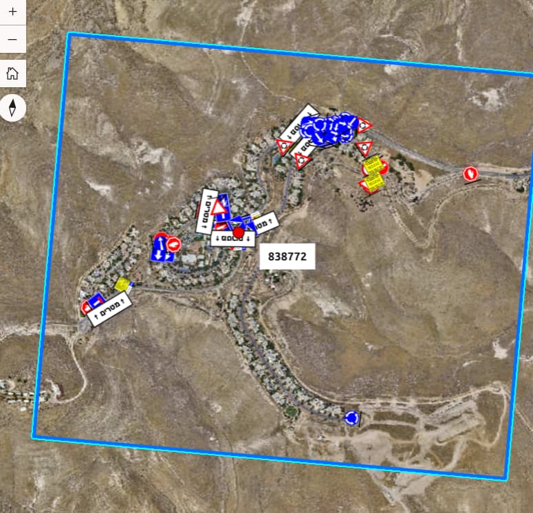
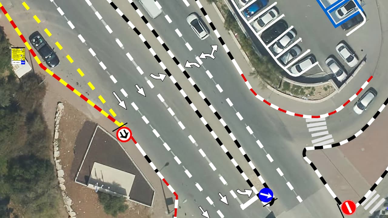
SIGNYX: a signage plan area on the orthophoto for a committee meeting