Implementation & support · A regional council GIS system and call-centre dashboard for a regional council
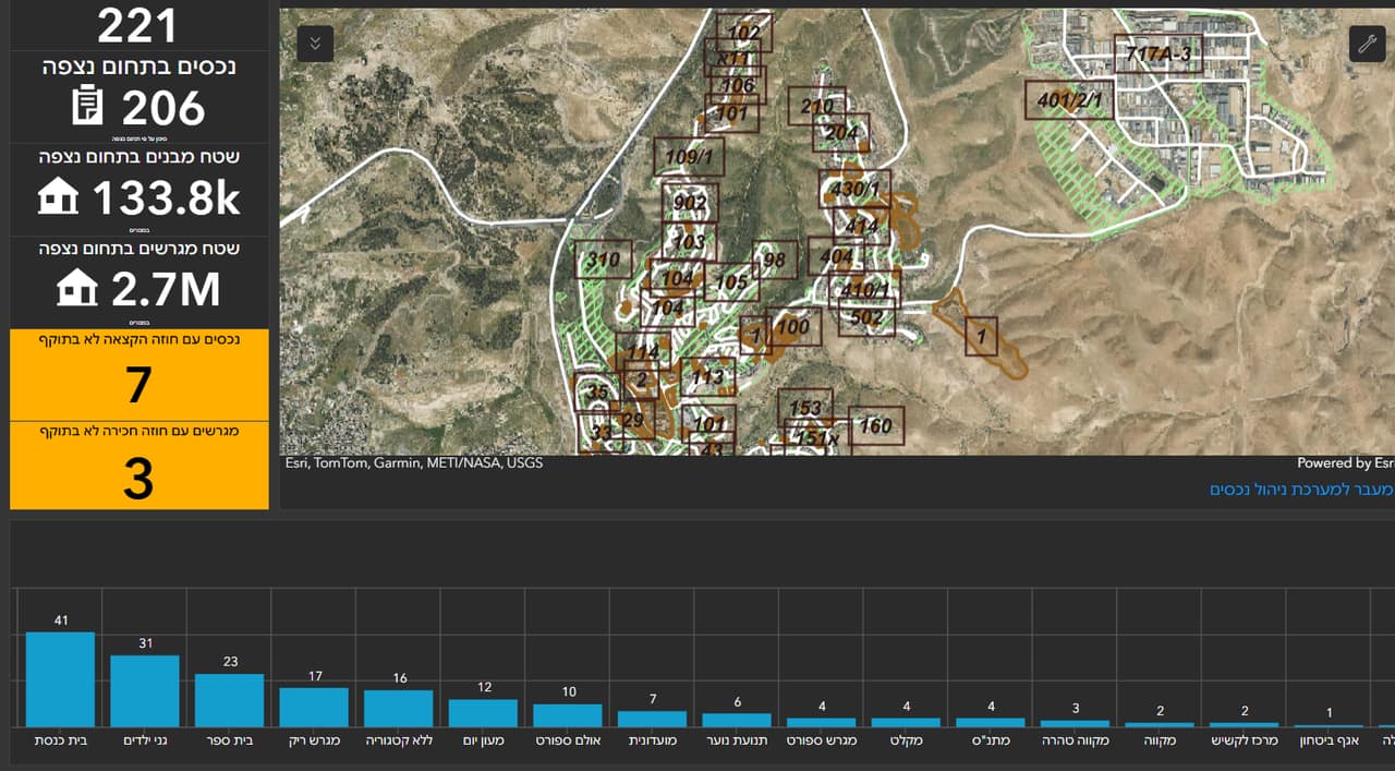
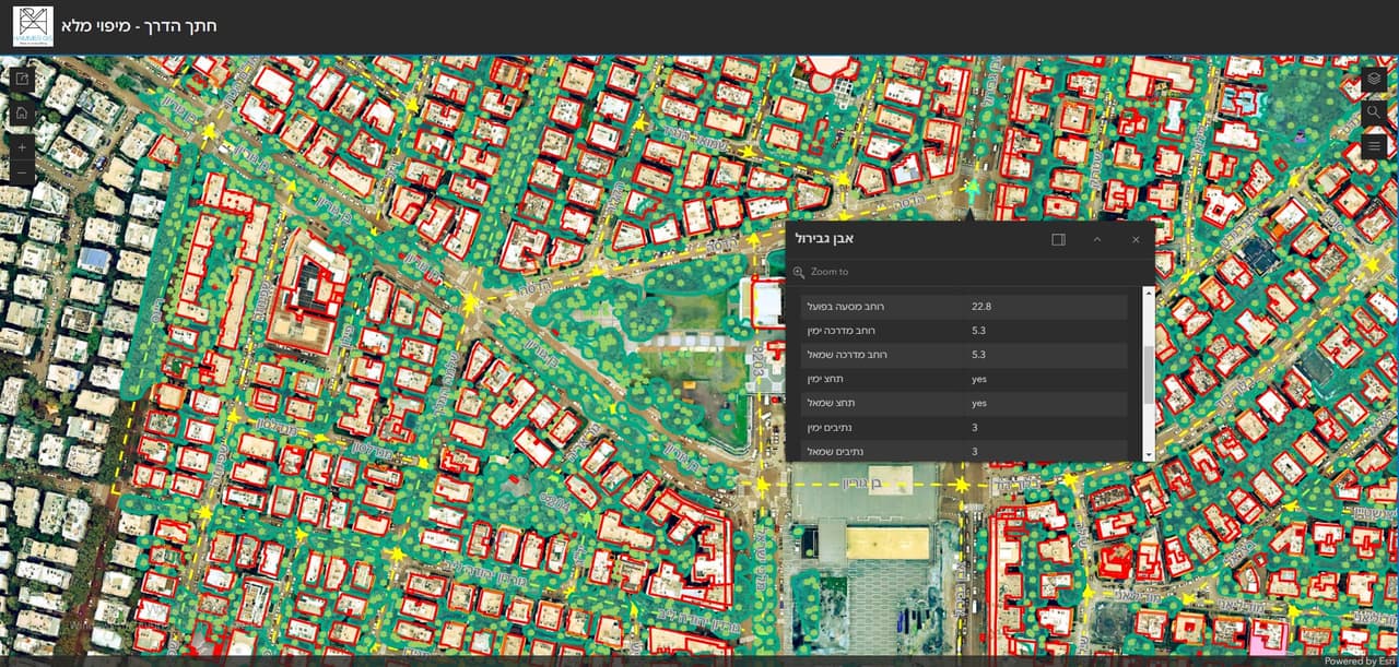
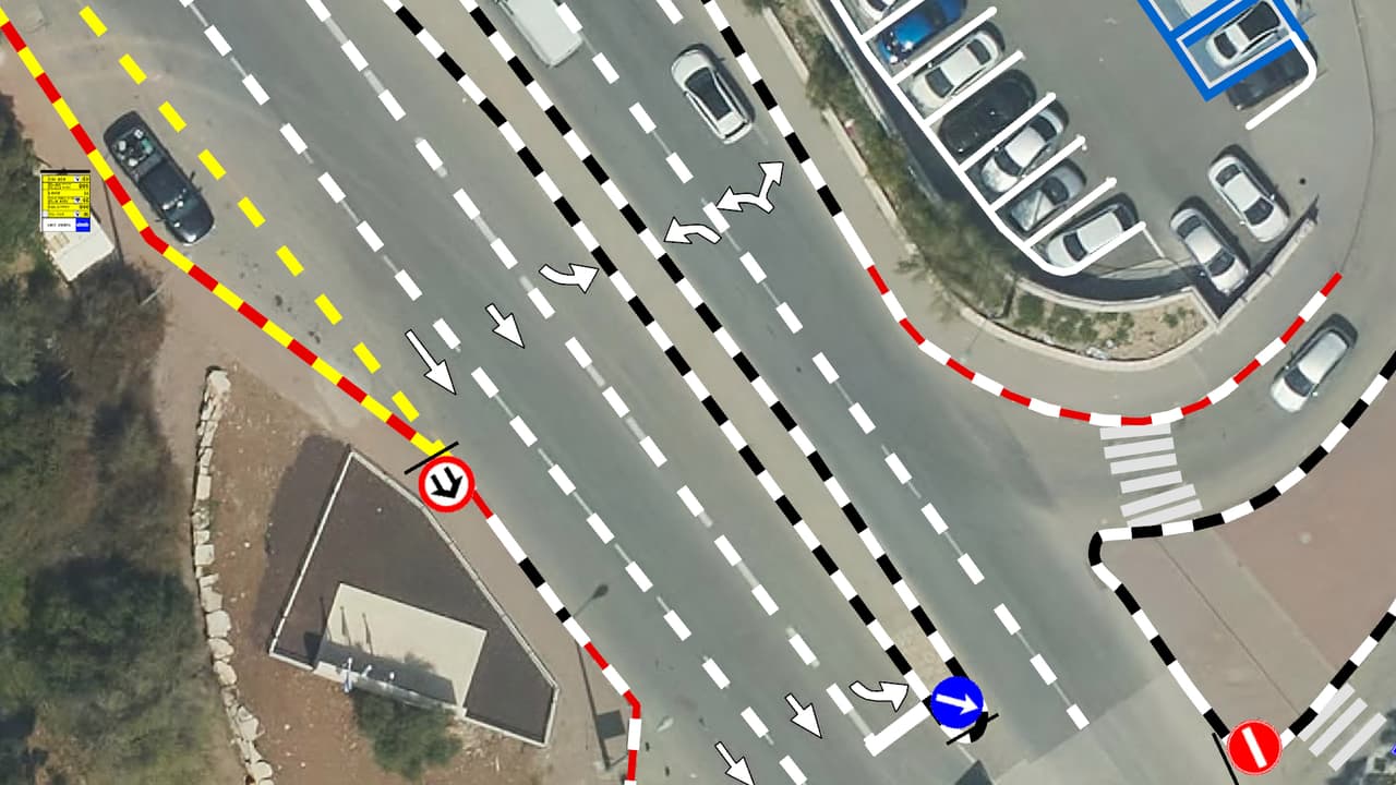
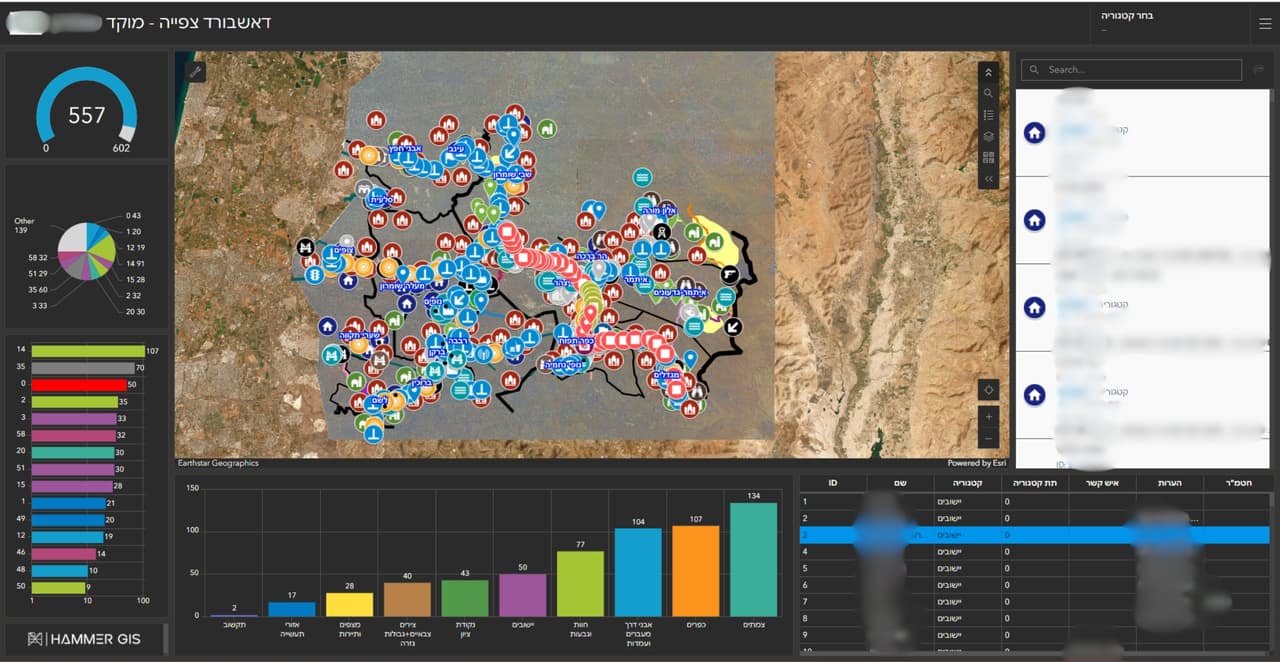
A GIS system for the council, a call-centre dashboard with a map and charts, and external links that open straight from the map.
The challenge
A regional council looks after many communities and large open areas, and information about them is spread across departments and systems. The call centre needs to see the picture on a map, and staff need to jump from the map to the relevant information without searching for it again.
The solution
We set up a GIS system for the council on ArcGIS, together with a call-centre dashboard that shows the data on a map and in charts. External links were configured inside the map, leading from a feature to information about it outside the system. We continue to support the council as a GIS client.
The result
Council staff work from one GIS system, the call centre sees the situation on a map and in charts, and every feature on the map leads straight to the relevant information.
What was delivered
-
GIS system on ArcGIS
-
Call-centre dashboard
-
External links from the map