Implementation & support · Local authorities Resident maps: collection days, thematic maps and a road cross-section survey
ArcGIS Online apps for local authorities: waste and pruning collection days by address, comparison and thematic maps for residents, a road cross-section survey and self-survey forms.
The challenge
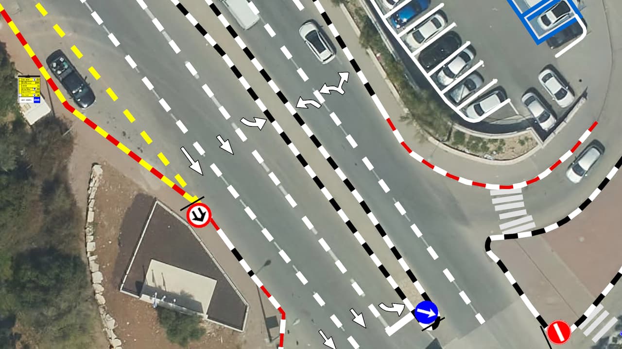
A resident who wants to know when garden waste is collected on their street should not have to call the hotline. And a department planning a bike lane needs to know the road width, where the parking is and where the trees stand before anyone starts drawing.
The solution
We built a set of ArcGIS Online apps: a waste and pruning collection-day map with search by address or location, comparison maps that show two maps side by side, thematic maps for residents, a road cross-section survey recording bike lanes, bus lanes, parking, road width and trees, and self-survey forms for collecting information in the field.
The result
Residents look up their collection days by address in a public app, and planners work from an organised road cross-section layer instead of measuring each street again.
What was delivered
-
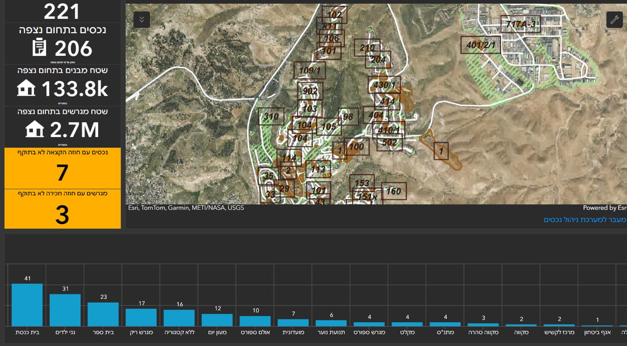
Waste and pruning collection-day map with address search
-
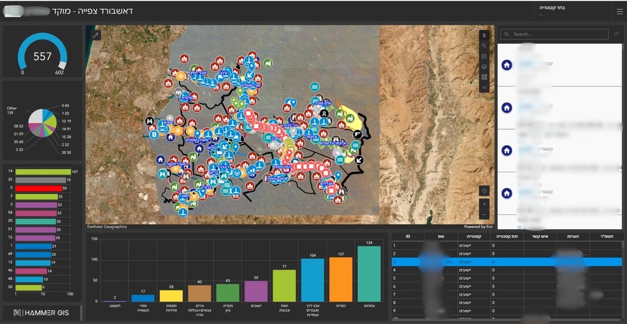
Comparison maps and thematic resident maps
-
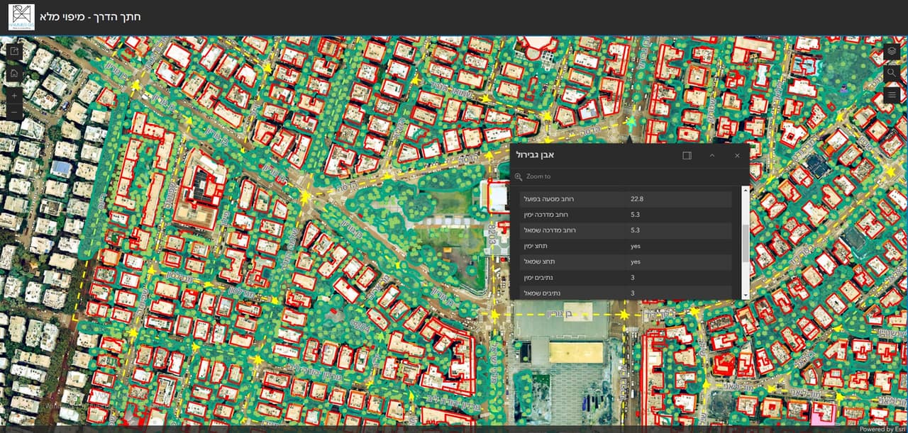
Road cross-section survey
-
Self-survey forms
From the project
-
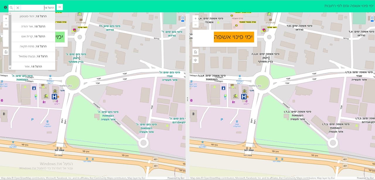
Resident map: collection days by area -
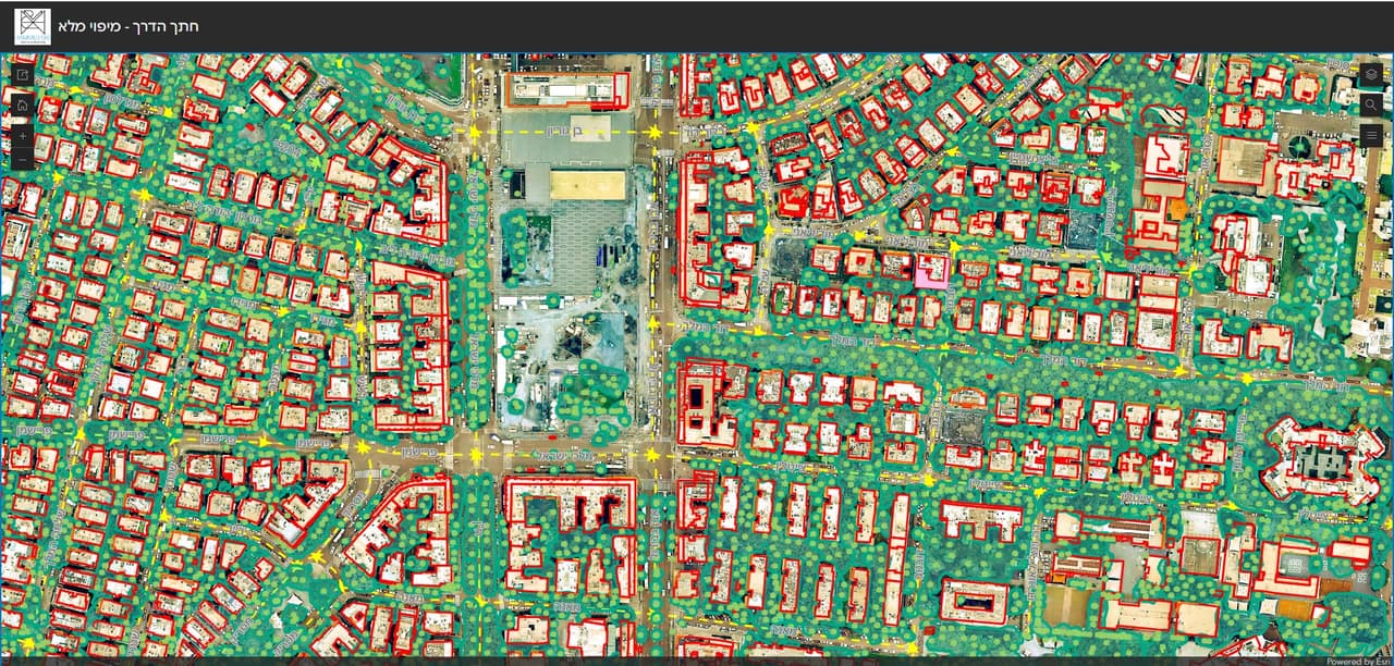
Road cross-section survey: colour layers across a city -
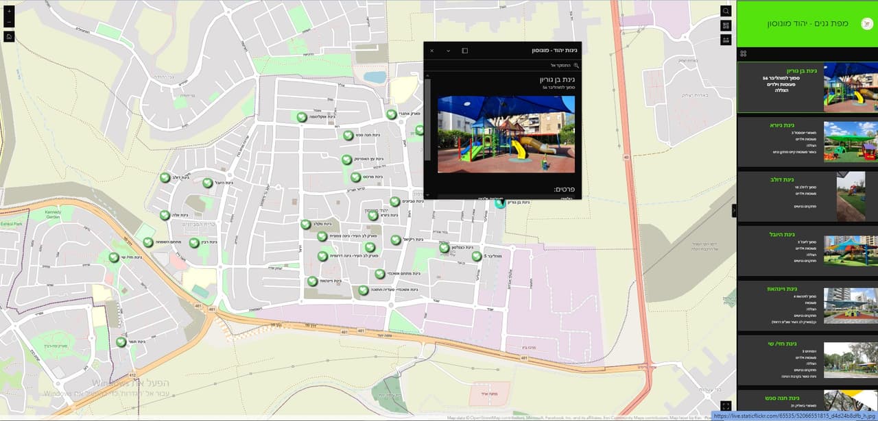
Thematic resident map with points and photos